“El Niño” has been in Californians’ common lexicon for the better part of three decades, ever since a particularly destructive winter in 1997-98 thrust the weather phenomenon into the spotlight. This summer, the confidence of forecasts projecting a “strong” or “very strong” El Niño skyrocketed to 97%. As a born-and-raised Northern Californian, I have long interpreted the emergence of El Niño as the West Coast’s version of Punxsutawney Phil seeing his shadow: it means we’re in for a long, very wet winter.
I have since learned it’s not so simple.
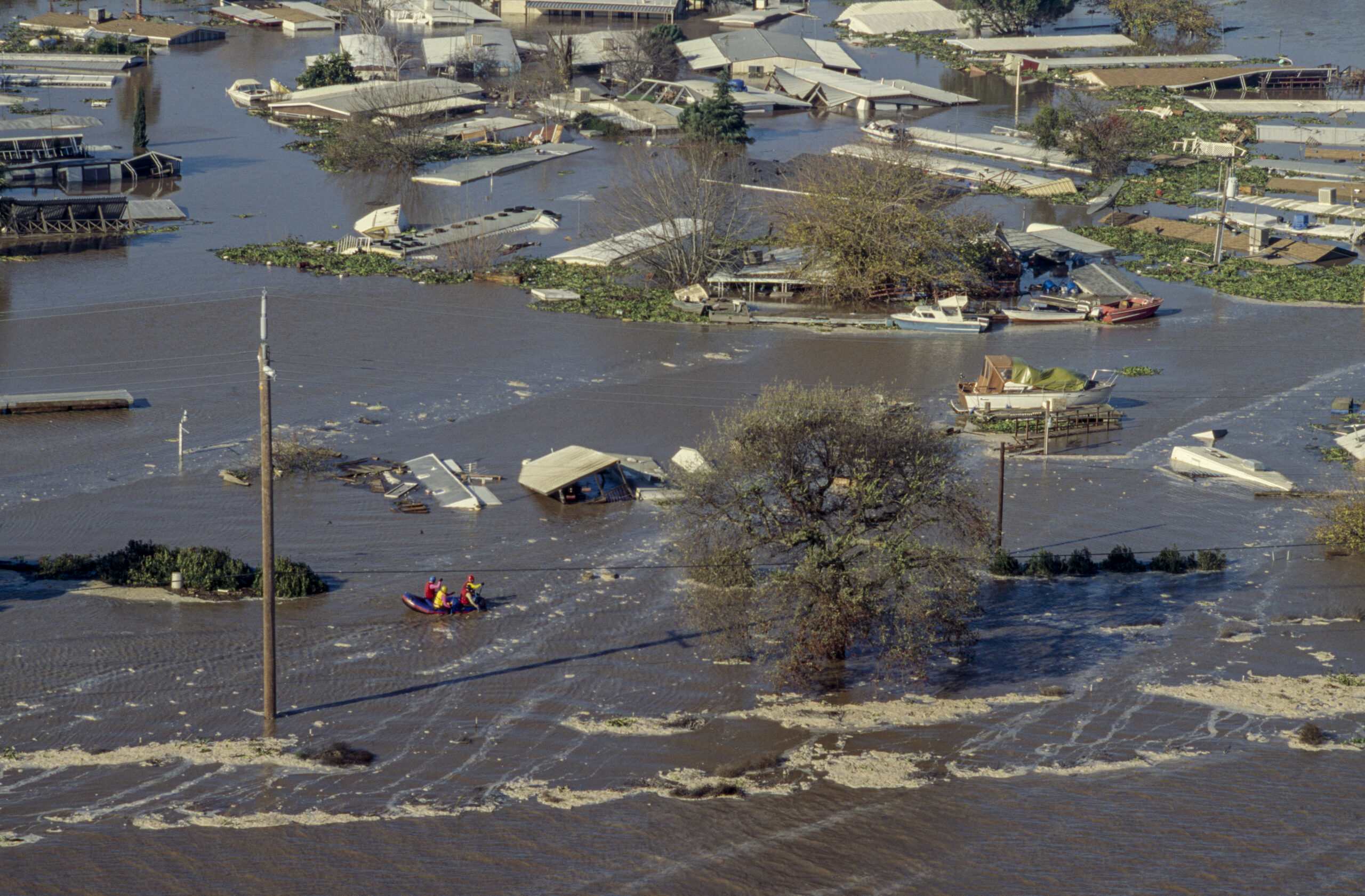
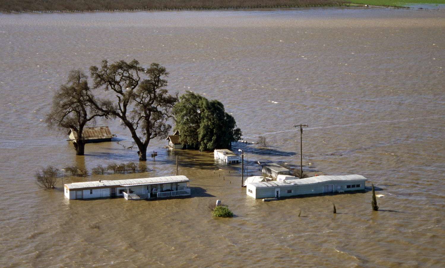
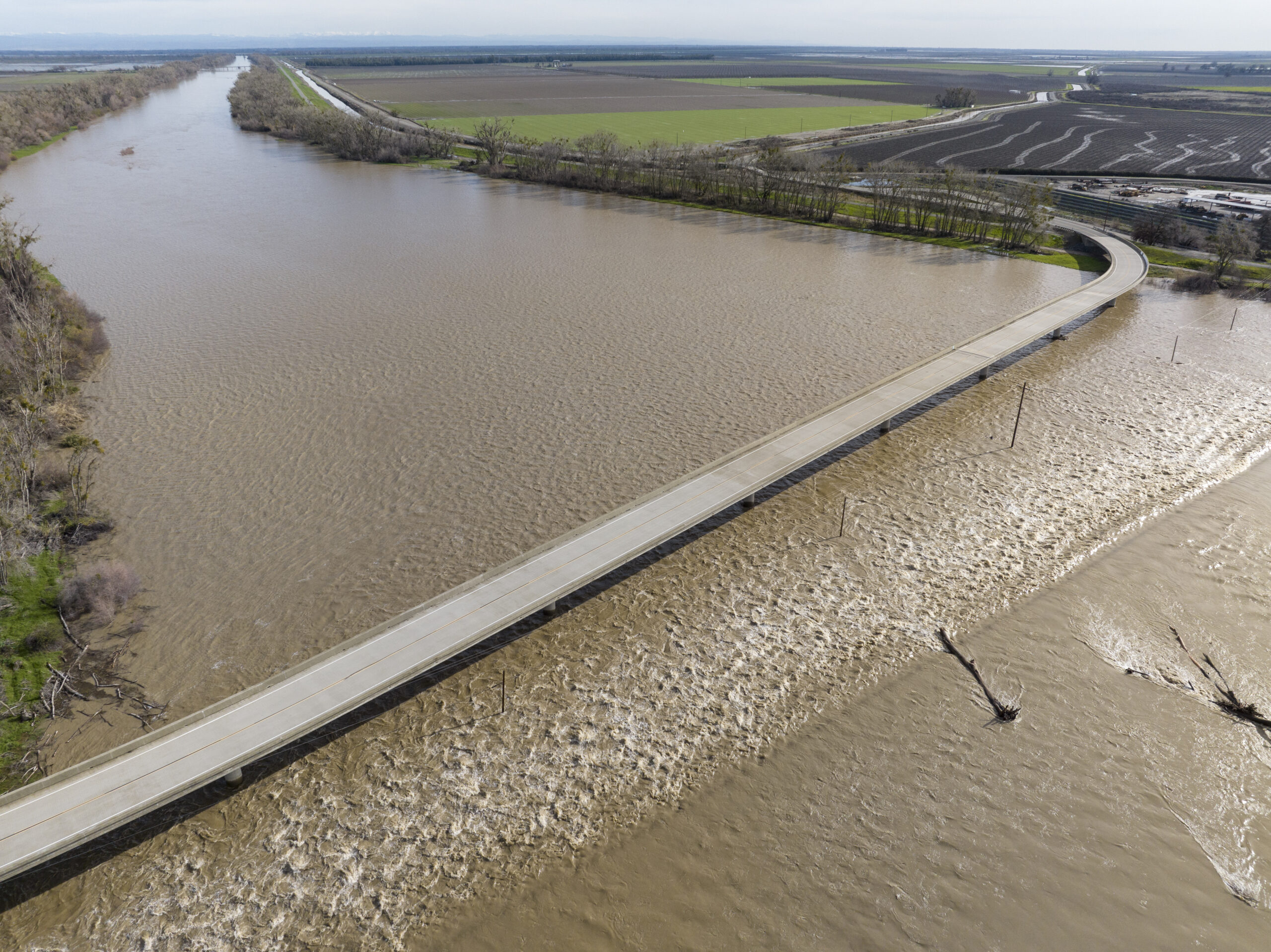
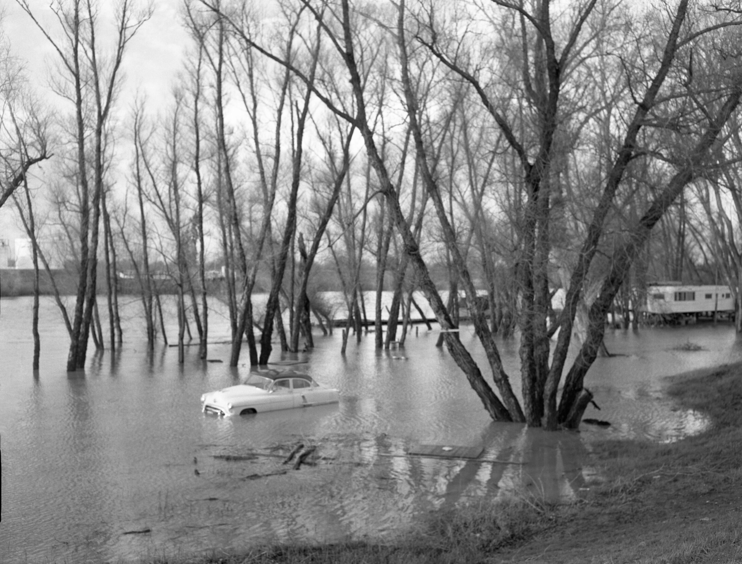
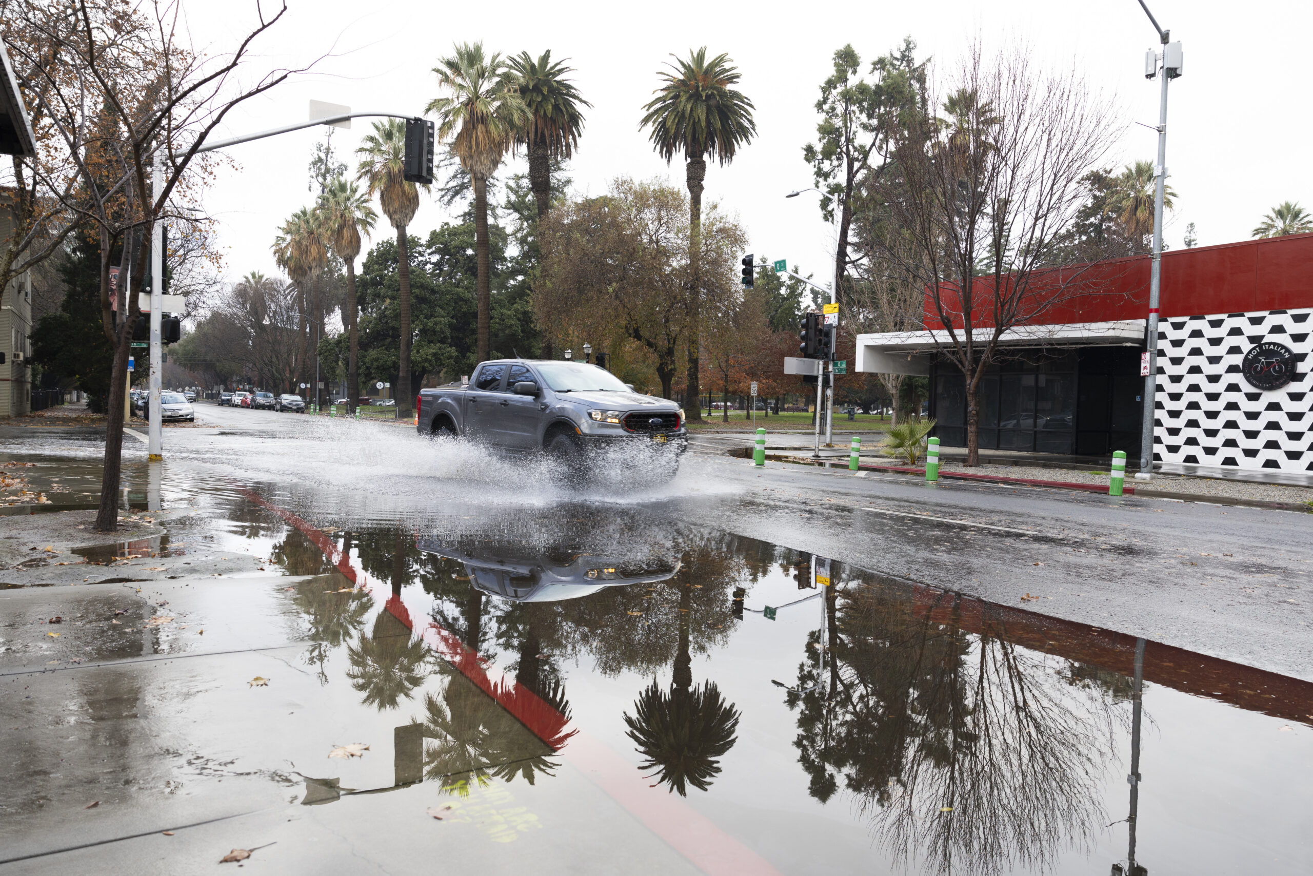
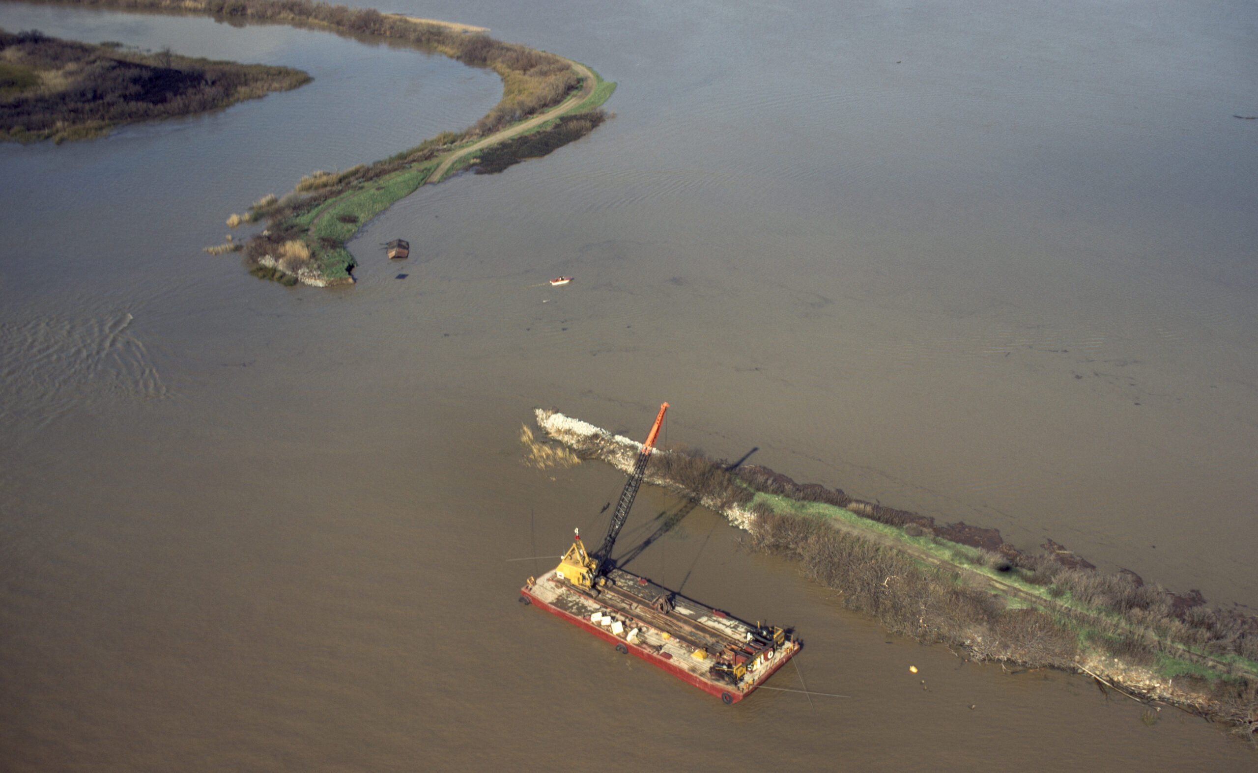
Photos of flooding after a 1997 storm in Manteca, CA. Credit DWR
I’d like to think this reductive interpretation of El Niño is frequent among us Californians, even as terms like “atmospheric river,” “bomb cycle,” and “heat dome” have forced 21st-century meteorological literacy upon us.
I asked the SF Chronicle’s Newsroom Meteorologist Anthony Edwards, who has done some outstanding work to demystify the upcoming El Niño for Bay Area residents, why he thinks the phenomenon remains so misunderstood by the average Californian.
“Many people think ‘an El Niño is coming’ as if it’s a single storm, not a shift in a climate pattern that makes certain things more likely, but not guaranteed,” Edwards said.
Even with an almost certain El Niño, experts like Edwards still only have educated guesses and ballpark probabilities as to what its ultimate effects in any given area could be. Declaring an El Niño has formed is a bit like announcing the first domino in a massive Rube Goldberg machine has tipped over. What happens next depends on dozens of interconnected steps, each capable of amplifying, redirecting, or dampening the chain reaction before it reaches California.
Therein lies both the frustration and the fascination of El Niño. Its consequences are as convoluted as they are massive.
Very, very basically, NOAA declares that an El Niño event has begun when part of the Pacific Ocean near the equator gets warmer than usual and stays that way for several months. When this happens, the winds that normally blow across the ocean get weaker, thereby shifting rain patterns. The resulting impacts are astonishingly far-reaching and complex, even if you’re just looking at rainfall, as the map does below.
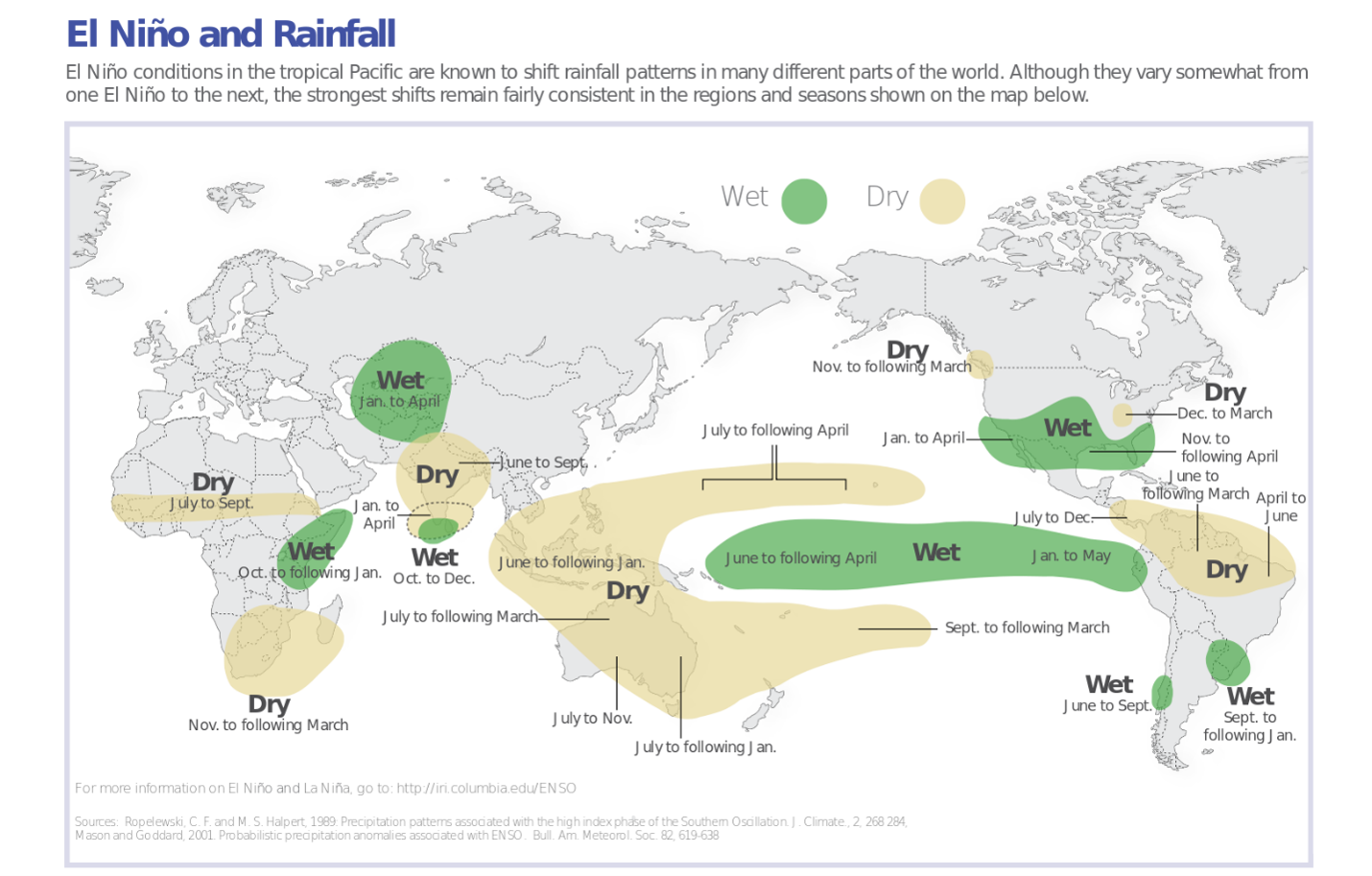
Typical rainfall patterns during El Niño events (Credit: IRI)
The cascading impacts El Niño casts across the globe reminds me of why the “Butterfly Effect” is a term originally coined by a meteorologist.
“A butterfly flapping its wings in Brazil can produce a tornado in Texas.”
— Edward Lorenz
Understanding the El Niño Rube Goldberg machine has never mattered more. As a warming climate amplifies California’s swings between drought and deluge, seasonal climate indicators are increasingly important tools for anticipating flood risk or water conveyance failure. For a potentially record-breaking El Niño that Edwards reports could bring the California coast 40-70% more precipitation than average, understanding what the forecasts do, and do not, tell us can help communities prepare for what lies ahead.
That’s exactly the conversation we’ll have on August 26, when Sustainable Conservation welcomes climatologist Dr. Daniel Swain, one of California’s leading experts and voices on extreme weather and climate, for a discussion about this year’s emerging El Niño and what it could mean for the state, explain the science behind the forecasts, and answer audience questions about California’s most talked-about — and most misunderstood — climate phenomenon.
Registration is free and open to all! I hope to see you there.