
Authored by Earth Genome‘s Lead Geospatial Scientist Daniel Siegel. Blog 2 of 4 in a series breaking down the DWR Watershed Studies.
Following the methodology developed for the Merced Watershed Reconnaissance Study, the California Department of Water Resources (DWR) has expanded its efforts to model the potential benefits of groundwater recharge in the San Joaquin Basin. The resulting San Joaquin Basin Flood-MAR Watershed Studies—spanning the Calaveras, Stanislaus, Tuolumne, Merced, and Upper San Joaquin watersheds—mark a major step forward in regional water planning.
These studies evaluate how managed aquifer recharge using floodwaters (Flood-MAR) can mitigate the interconnected threats of groundwater depletion, flood risks, climate change, and habitat loss. The studies evaluated and compared two distinct management strategies for capturing high-flow storm waters:
Models, data, and climate change
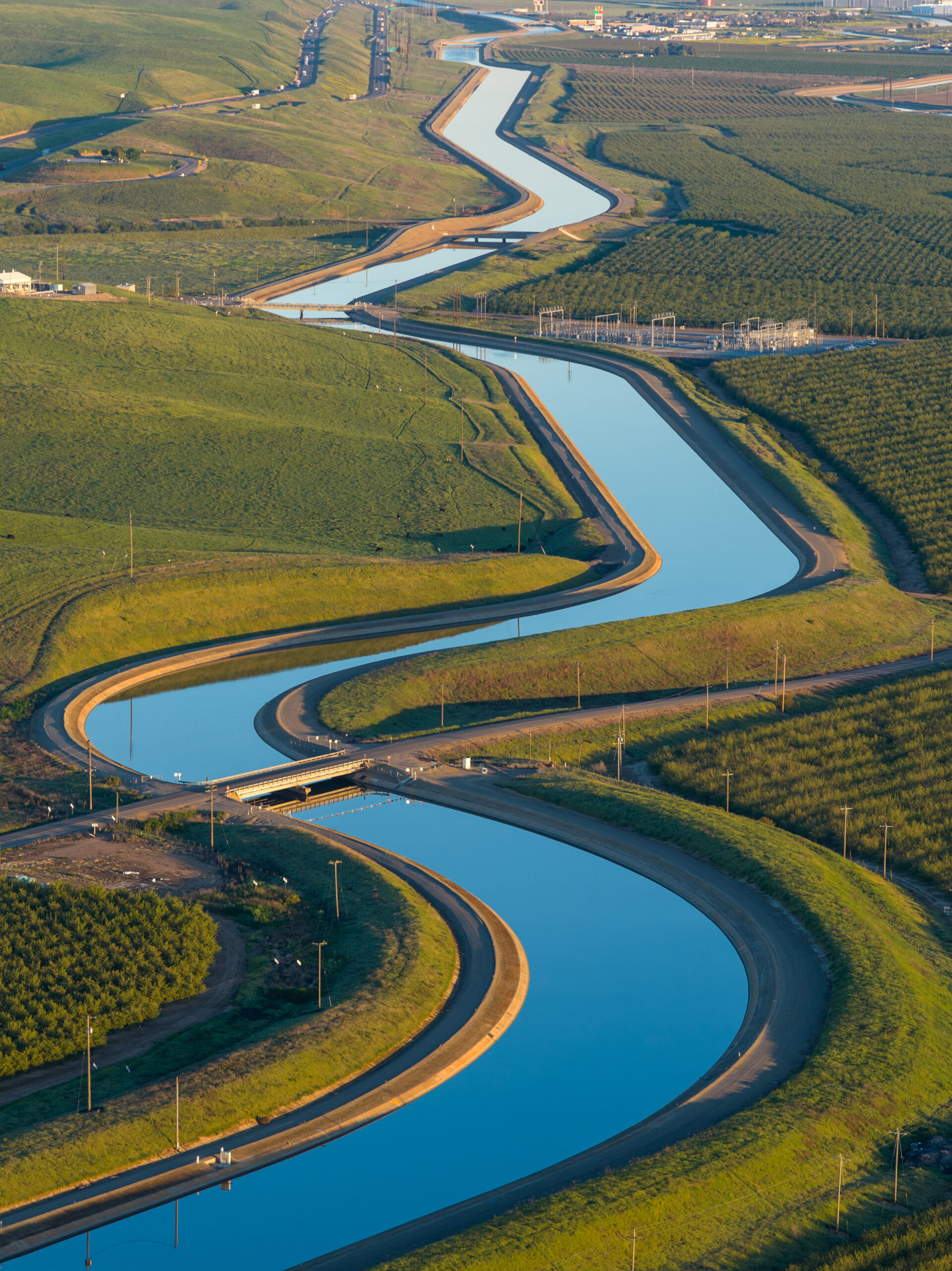
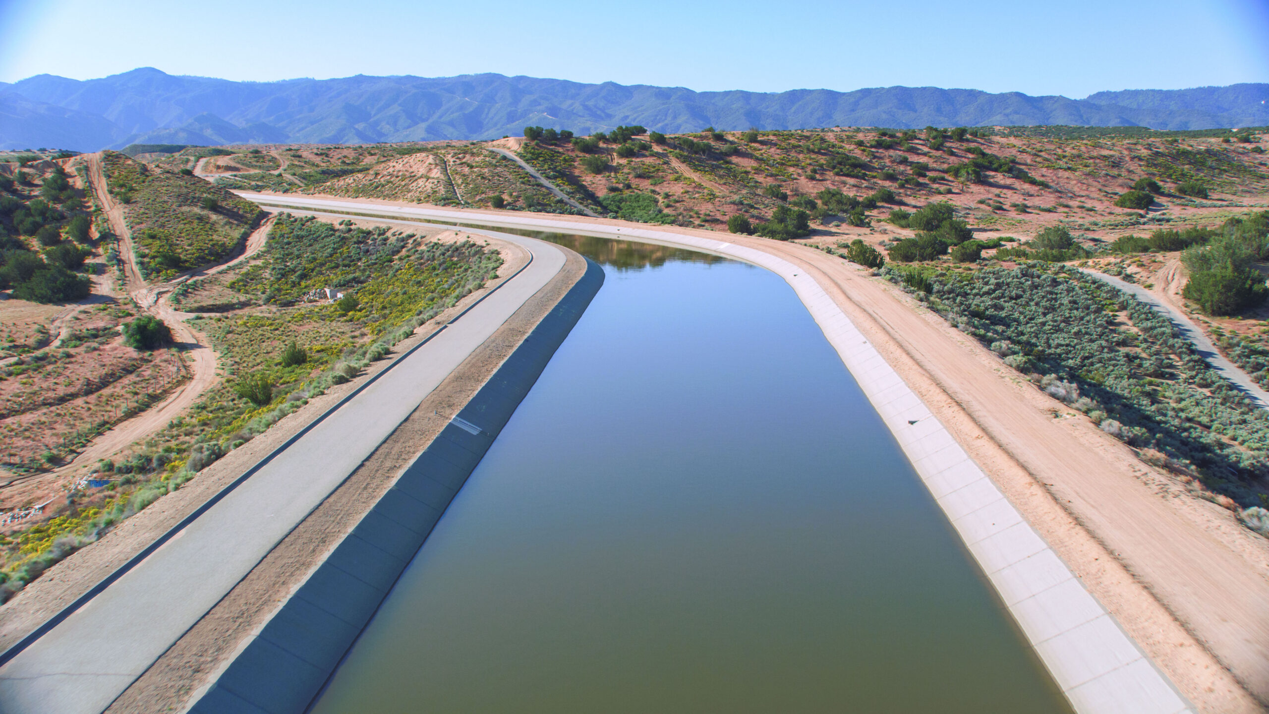
Photos of water conveyance infrastructure via the California Department of Water Resources
Evaluating MAR-90/20 and I-FIRM required building a highly integrated multi-model framework. To understand how water managers may protect California against flooding and groundwater overdraft in a warming climate, DWR linked several distinct pieces of software that simulated upper watershed snowpack and runoff, routed river flows, managed reservoir pools, optimized recharge operations, and modeled the resulting groundwater movement to determine the ultimate fate of recharged water.
The models simulated 100 years of daily hydrology across the two management strategies and climate scenarios. The models’ considerations included:
Crucially, the studies abandoned the concept of climate stationarity, which is the outdated assumption that the future will mirror the historical past. Instead, the team incorporated a non-stationary climate to simulate harsher future extremes, such as atmospheric rivers that threaten to dump peak flows up to five times a river channel’s design capacity, and droughts more intense than those in the historical record.
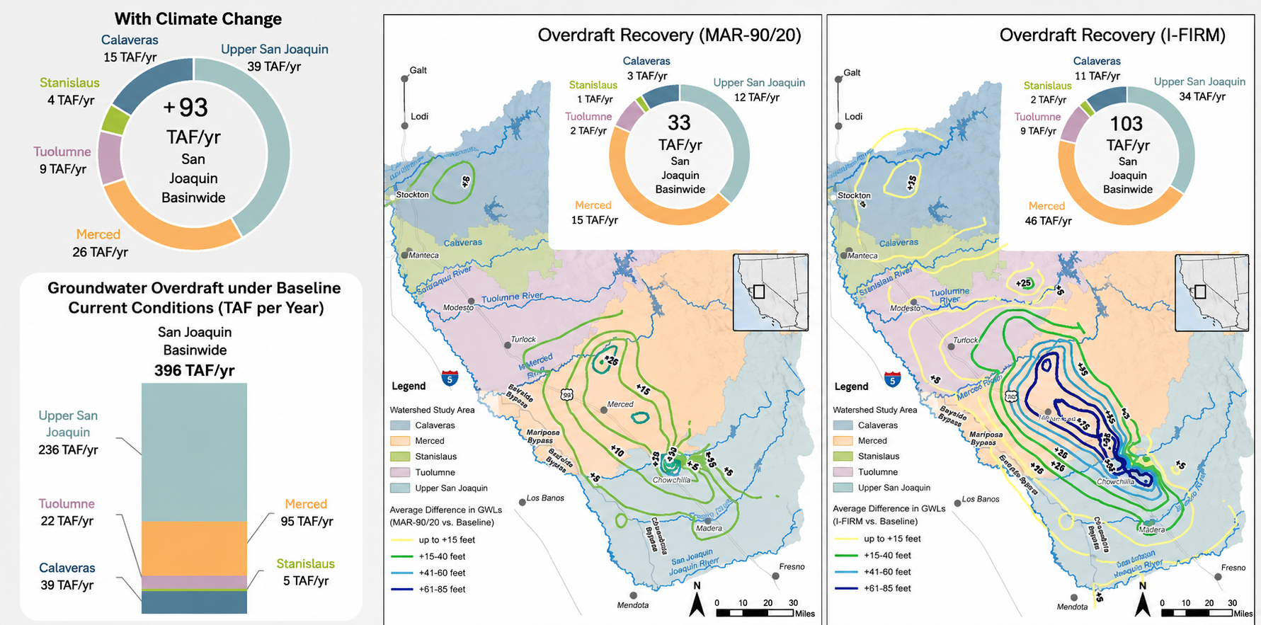
Figure 1 – Effect of each recharge management strategy on groundwater levels.
Key Findings Across the Five Watersheds
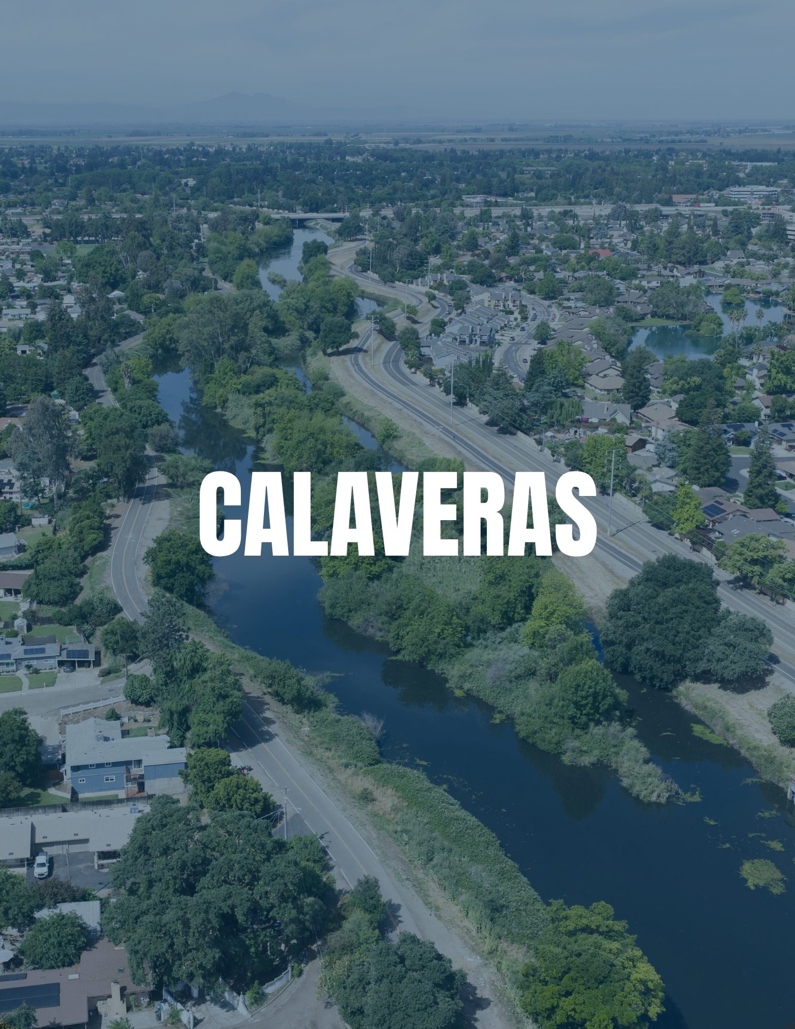
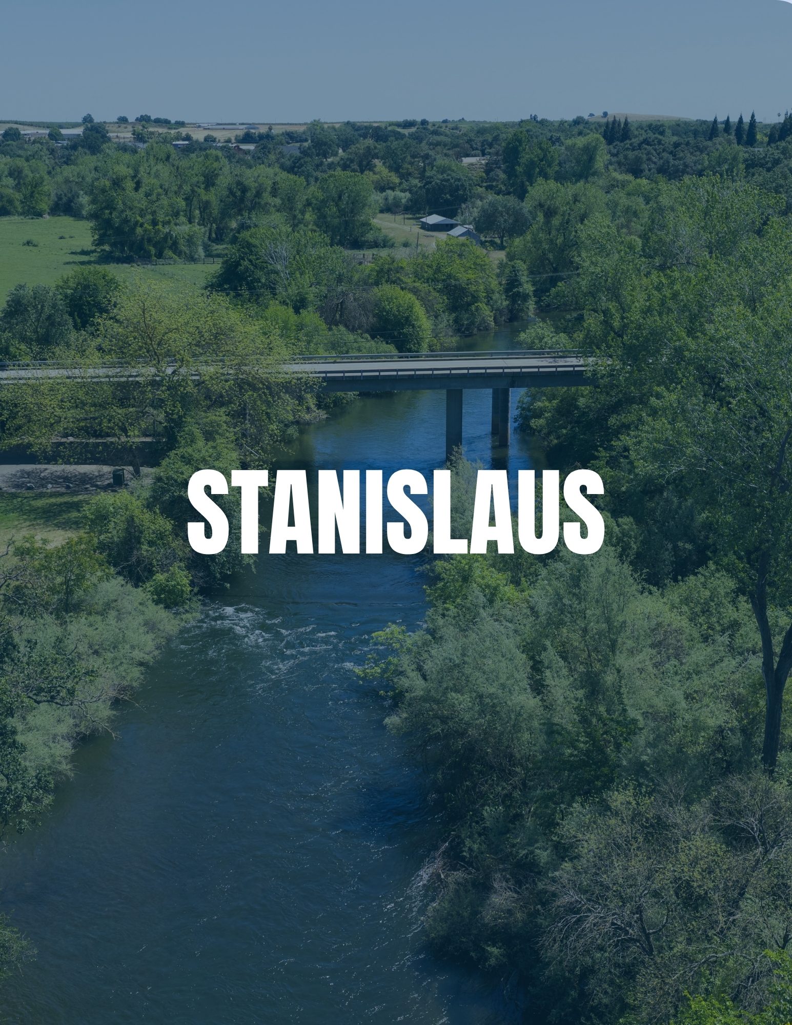
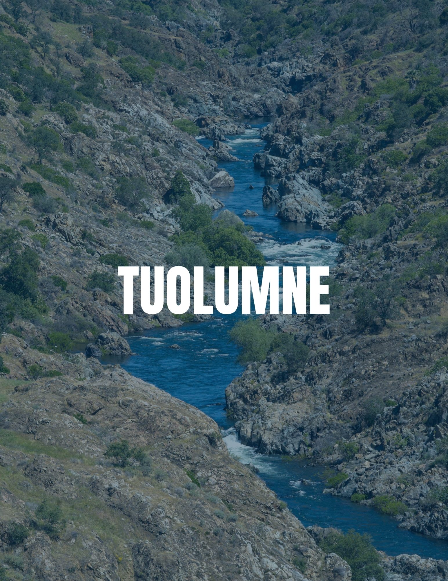
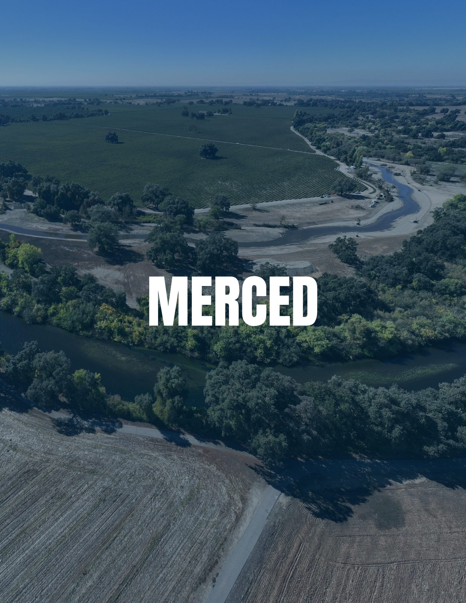
Sustainable Conservation’s summary sheets of the findings across the five watersheds included in the San Joaquin Basin Watershed Studies
The studies found that while both strategies are helpful, I-FIRM provides significantly better outcomes across the basin.
Groundwater Recharge & Overdraft Mitigation: The San Joaquin Basin currently sees 400,000 acre-feet per year of groundwater depletion, which climate change could increase by nearly 25%.
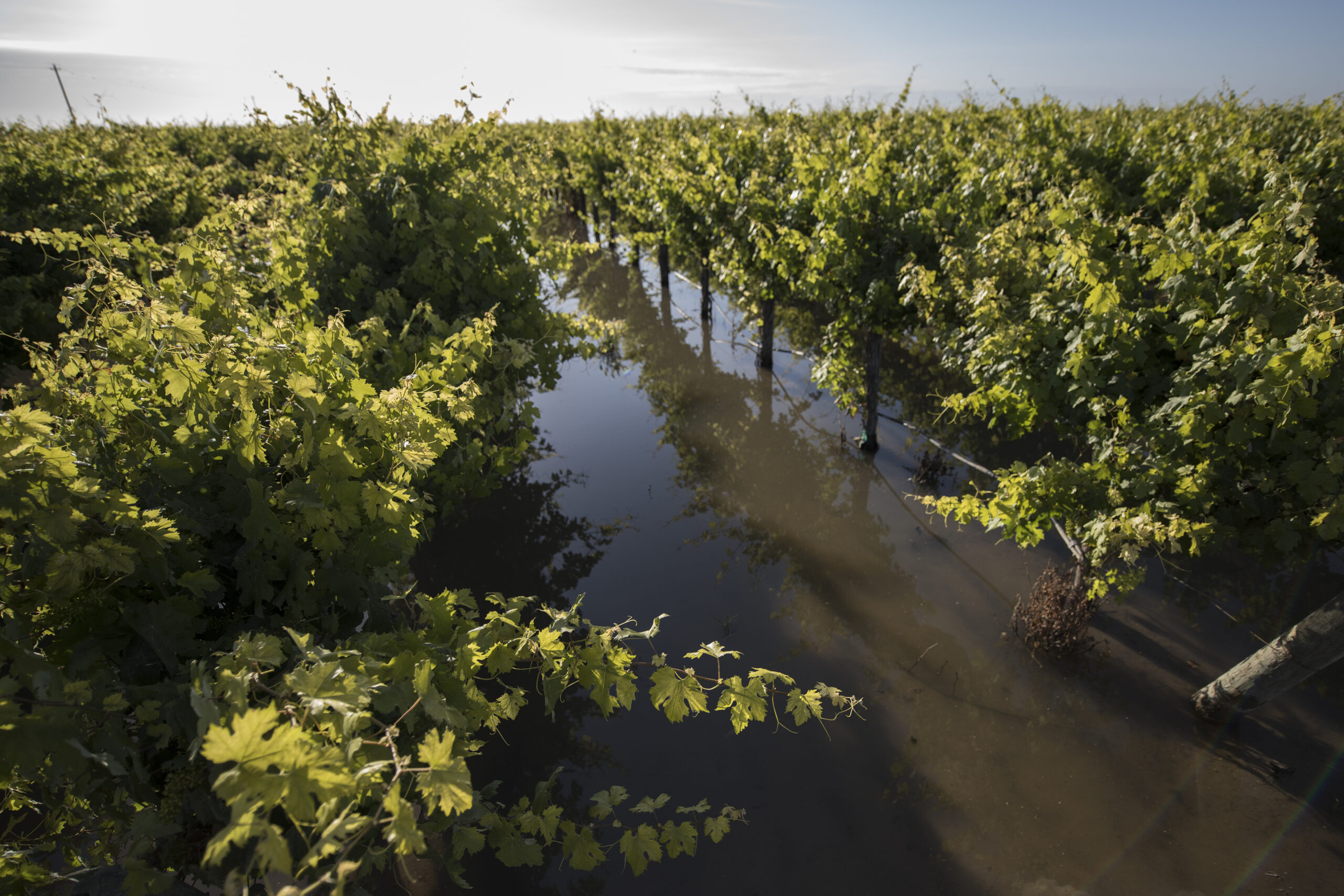

Photos of on-farm groundwater recharge
Flood Risk Reduction: Climate change threatens to push peak flows well beyond current channel capacities, vastly increasing flood risk. Peak flows on the Merced River could jump to nearly five times the channel’s design capacity.
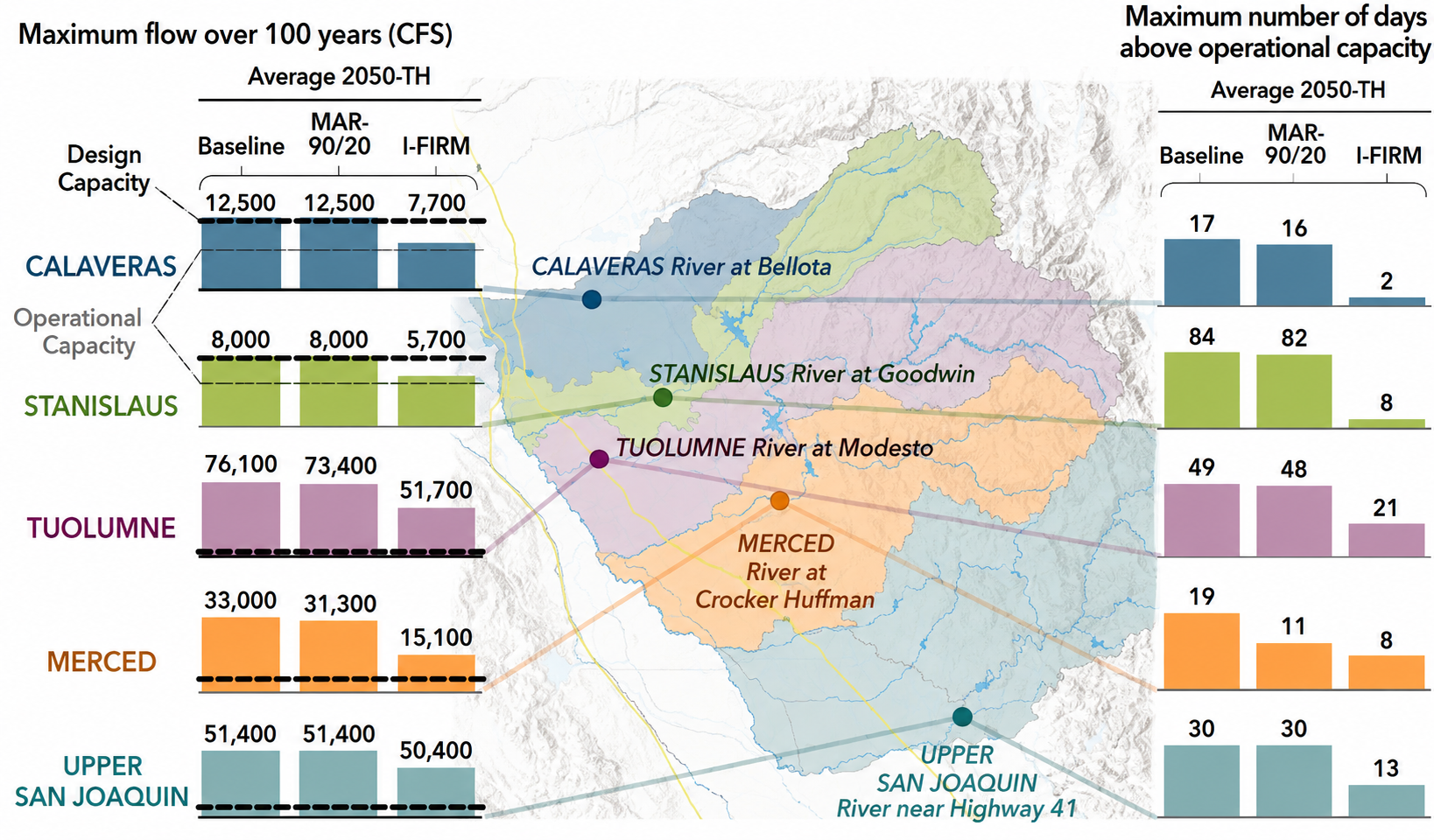
Figure 2 – Effect of each recharge management strategy on flood risk.
Ecosystem Effects: Groundwater recharge doesn’t mean all that water is permanently removed from the river system. A major finding of the study is that about half of the recharged water eventually returns to the streams. This is crucial during dry years, as it boosts summer baseflows. However, there are also some negative outcomes for ecosystems, such as reduced winter flows. The fourth blog post in this Watershed Studies series will more specifically explore the ecosystem impacts of these management strategies.
Modeling the Future: How GRAT Empowers Planners and Managers
The DWR Watershed Studies only considered two management strategies, providing a highly valuable but limited snapshot of what happens under certain operational assumptions. However, real-world water management is highly fluid. Sustainable Conservation and Earth Genome’s Groundwater Recharge Assessment Tool (GRAT) allows local water managers to break free of these limited snapshots and model custom, dynamic strategies based on local conditions and priorities:
Testing Local Infrastructure Upgrades: If an irrigation district is considering widening a specific canal or building a new recharge basin, for example, they can plug those specific dimensions into GRAT to see how much more floodwater they can capture.
Water Availability Assumptions: Groundwater Sustainability Agencies can upload their own custom climate and regulatory scenarios based on different assumptions than those used in these studies.
Adapting to Crop Transitions: If a farmer replaces a pistachio orchard with an annual crop like cotton, the crop compatibility and timing change. Water managers can update the cropping data in GRAT to generate a new, optimized field-flooding schedule that protects the farmer’s investment.
By turning the massive dataset generated by the DWR studies into a customizable, field-level dashboard, GRAT allows local managers to run their own “what-if” scenarios, transforming a climate vulnerability study into an active, everyday decision support tool for climate resilience planning. For more information on groundwater recharge implementation and GRAT, visit www.groundwaterrecharge.org!
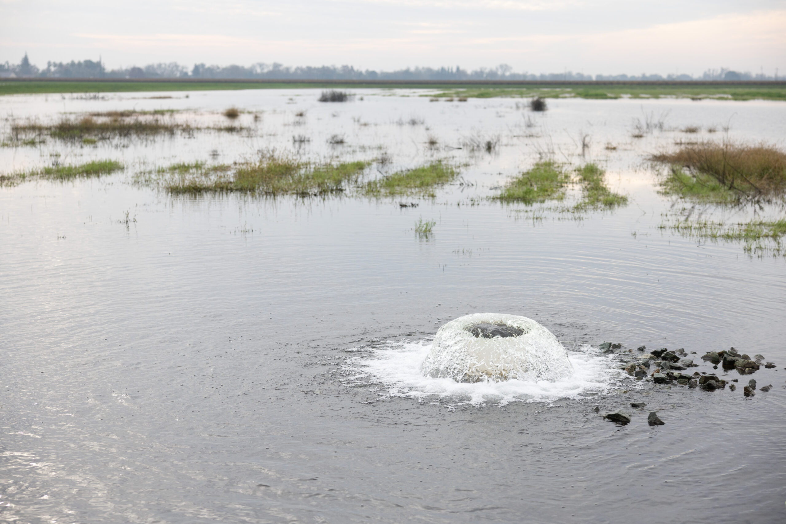
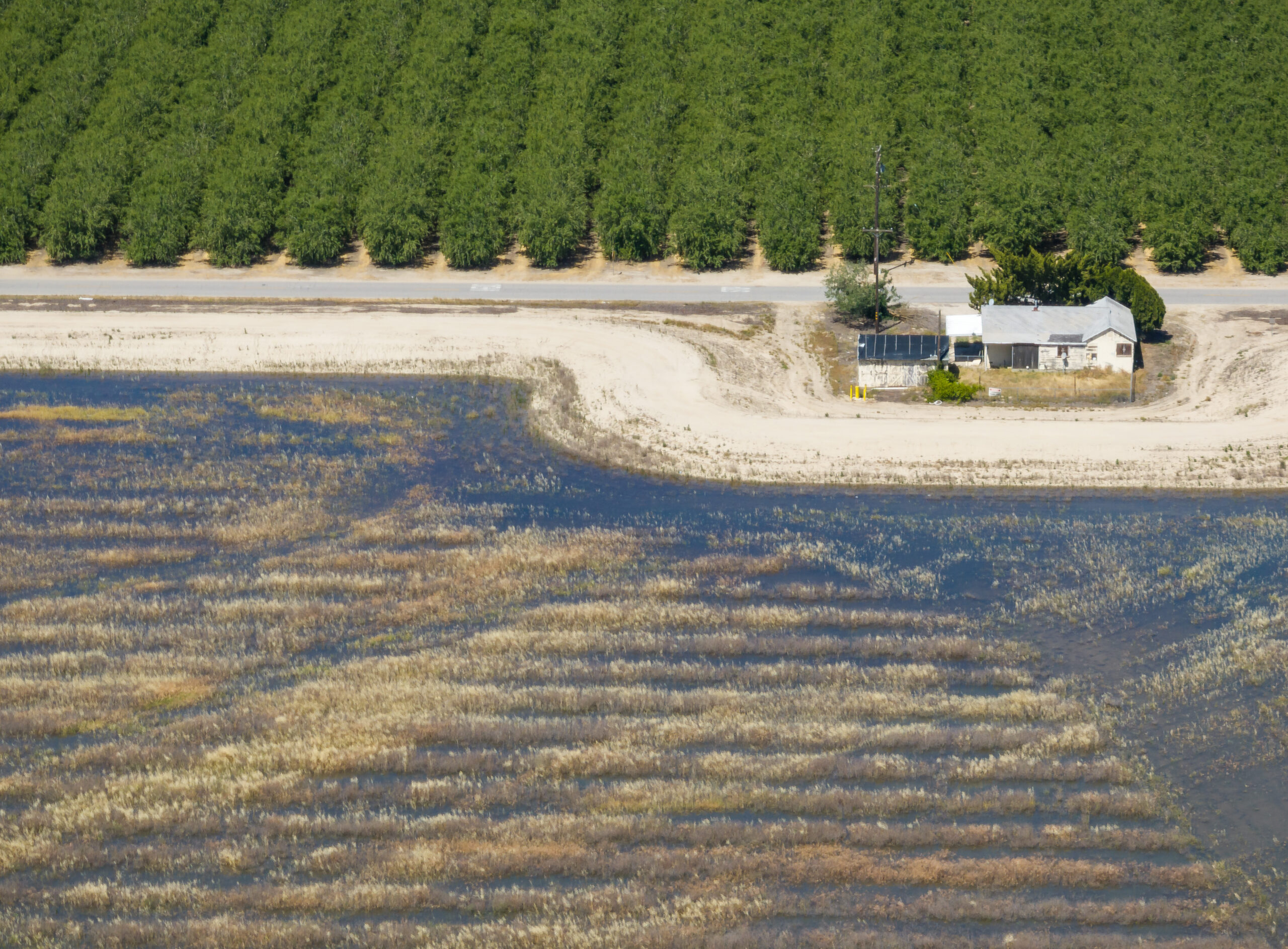
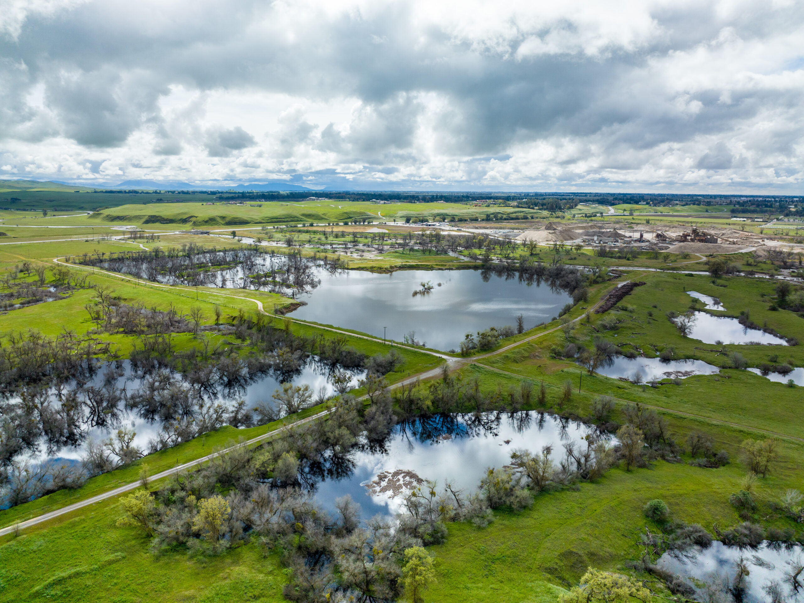
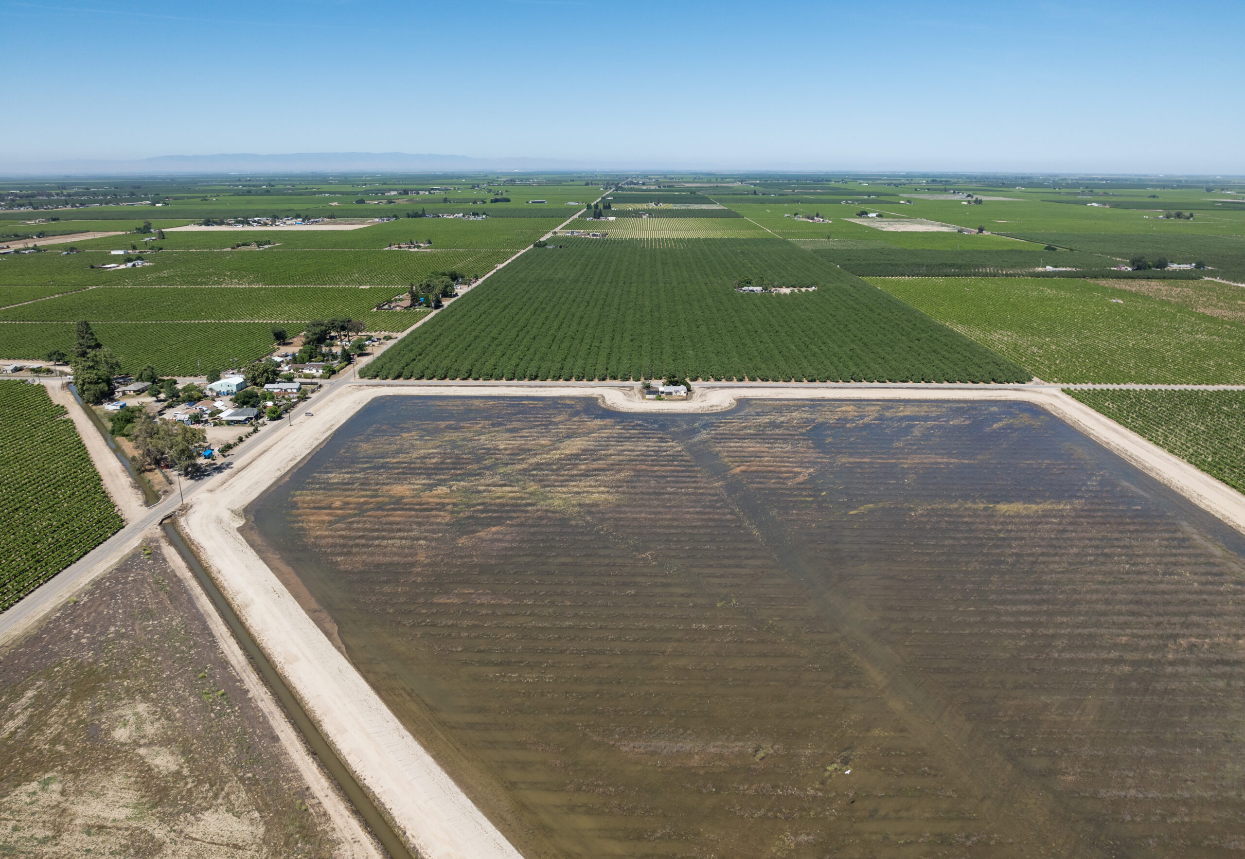
Photos of Flood-MAR. All photos courtesy of DWR